Computer Science > Study Notes > Geographic Information Systems (All)
Geographic Information Systems
Document Content and Description Below
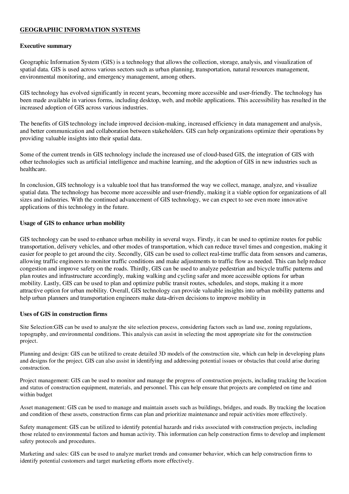
Geographic Information System (GIS) is a technology that allows the collection, storage, analysis, and visualization of spatial data. GIS is used across various sectors such as urban planning, transpo ... rtation, natural resources management, environmental monitoring, and emergency management, among others. [Show More]
Last updated: 2 years ago
Preview 1 out of 3 pages
Buy this document to get the full access instantly
Instant Download Access after purchase
Buy NowInstant download
We Accept:

Reviews( 0 )
$10.00
Can't find what you want? Try our AI powered Search
Document information
Connected school, study & course
About the document
Uploaded On
Mar 29, 2023
Number of pages
3
Written in
All

Additional information
This document has been written for:
Uploaded
Mar 29, 2023
Downloads
0
Views
103