Geography > QUESTIONS & ANSWERS > GEOG 222.3: Introduction to Geomatics, Geospatial Lab Application 9: Digital Terrain Analysis (70 po (All)
GEOG 222.3: Introduction to Geomatics, Geospatial Lab Application 9: Digital Terrain Analysis (70 points intotal).A+ Guide, 100% correct answers
Document Content and Description Below
Last updated: 1 year ago
Preview 1 out of 3 pages
Instant download

Buy this Document to get the Full Access Instantly
Provided by Students Who Aced it
We Verify Document Content to Gurantee Accuracy
Reviews( 0 )
Document information
Connected school, study & course
About the document
Uploaded On
Nov 02, 2022
Number of pages
3
Written in
All

Additional information
This document has been written for:
Uploaded
Nov 02, 2022
Downloads
1
Views
581
Topic Tags
Recommended For You
Get more on QUESTIONS & ANSWERS »
Department of Geography and Planning University of Saskatchewa...
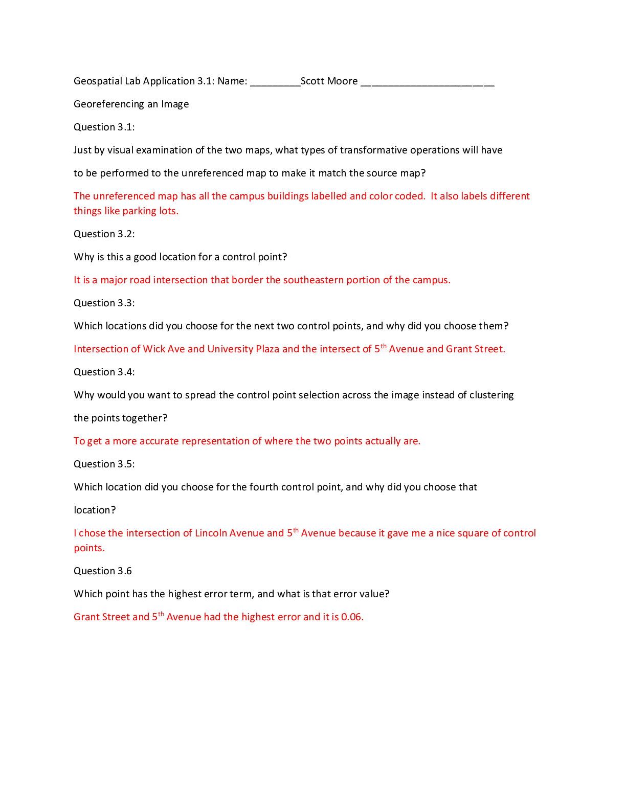
.png)

Jesus Serrano-Vazquez - America Revealed Food Machine Question...

[Answer Key] American Military University GEOG 101 Week 5 Qui...
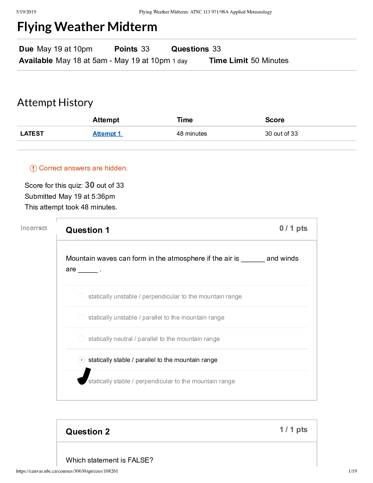
University of British ColumbiaATSC 113Flying Midterm Quiz Scor...
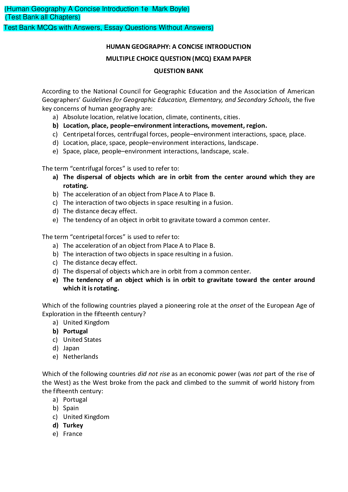
Human Geography A Concise Introduction 1e Mark Boyle (Test Ba...
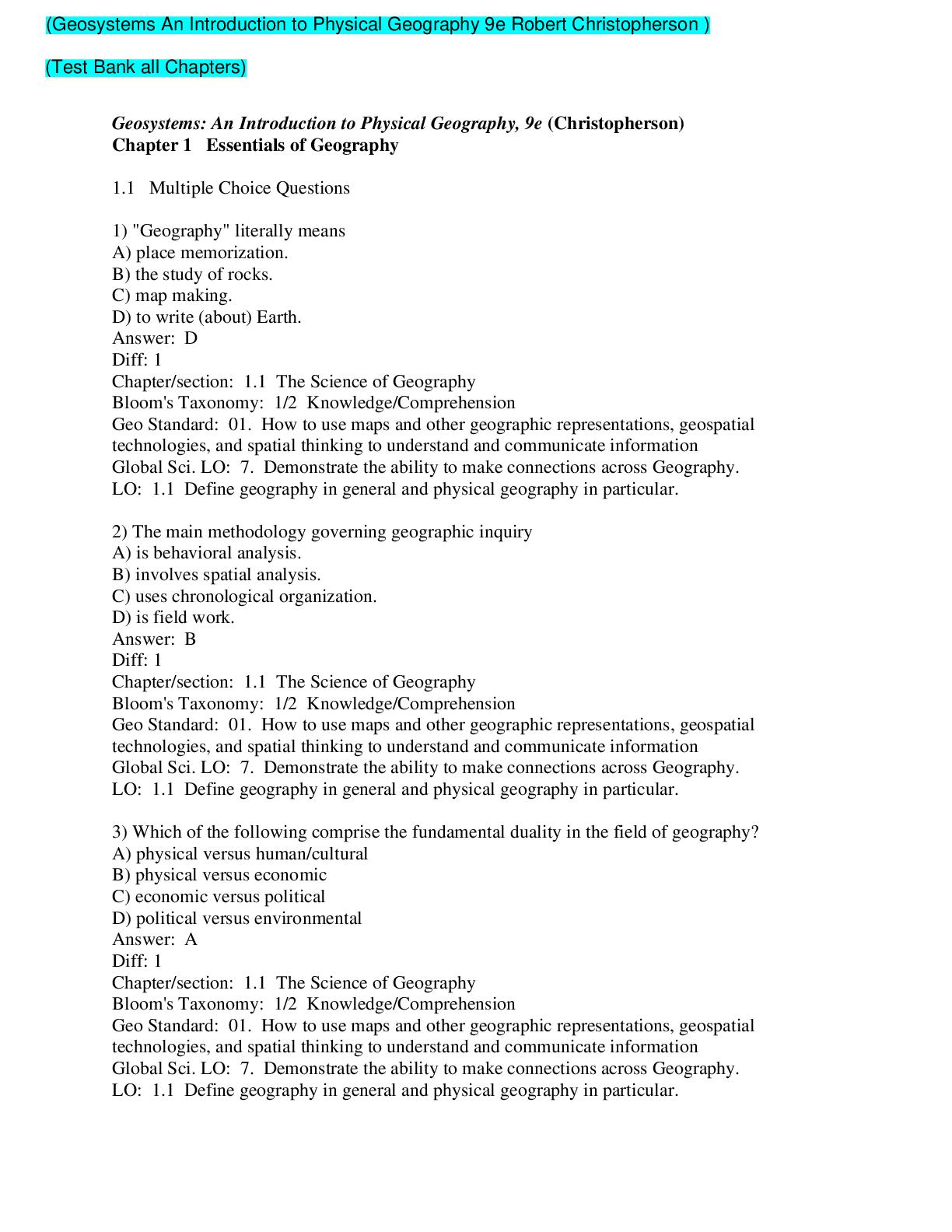
Geosystems An Introduction to Physical Geography 9e Robert Chr...
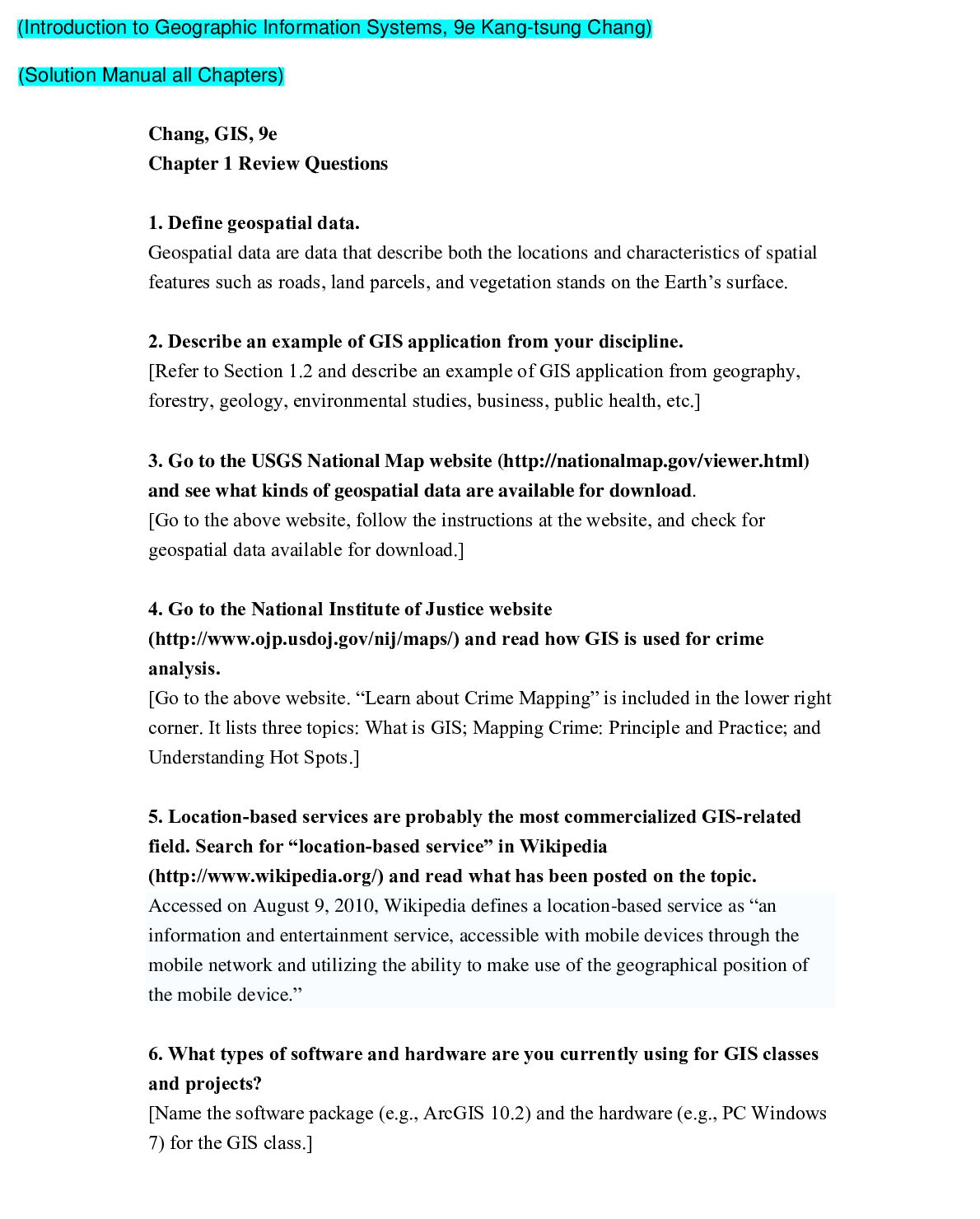
Introduction to Geographic Information Systems 9th Edition By...
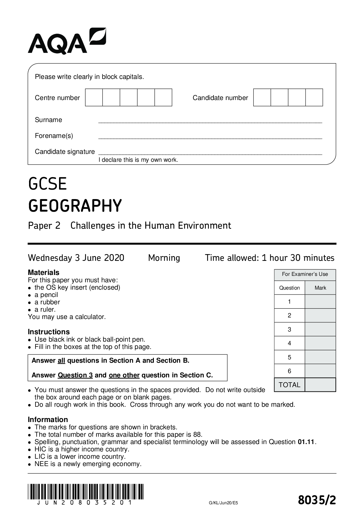
AQA GCSE GEOGRAPHY 8035/2 Paper 2 Challenges In The Human Envi...