Environmental Science > QUESTIONS & ANSWERS > 1.2.5 Explore: GPS and GIS Technology Exploration _ Environmental Science (All)
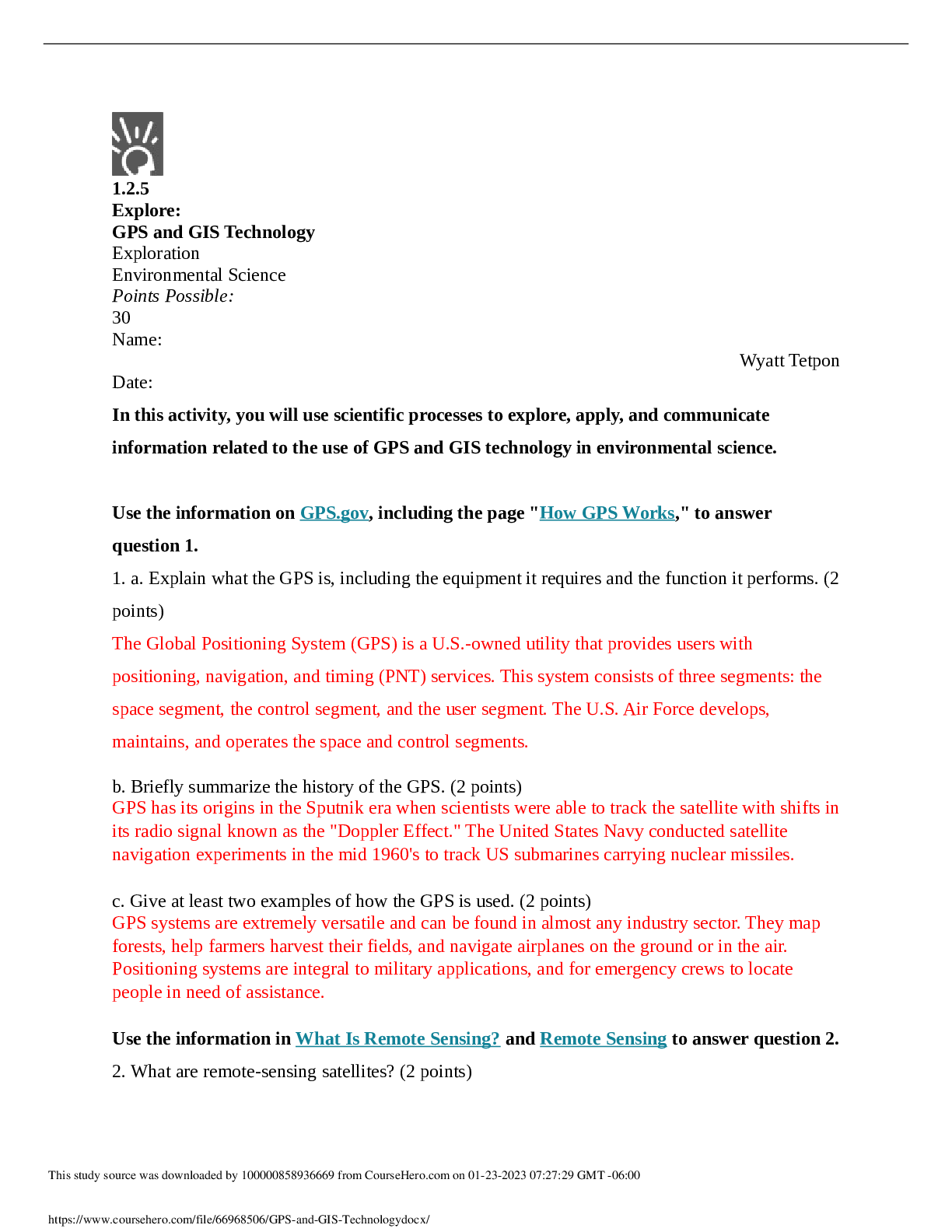
1.2.5 Explore: GPS and GIS Technology Exploration _ Environmental Science
Document Content and Description Below
Last updated: 3 years ago
Preview 1 out of 5 pages
Instant download
Buy this Document to get the Full Access Instantly
Provided by Students Who Aced it
We Verify Document Content to Gurantee Accuracy
Reviews( 0 )
Document information
Connected school, study & course
About the document
Uploaded On
Jan 23, 2023
Number of pages
5
Written in
All

Additional information
This document has been written for:
Uploaded
Jan 23, 2023
Downloads
0
Views
322
Topic Tags
Recommended For You
Get more on QUESTIONS & ANSWERS »
Scientific American Environmental Science for a Changing World...
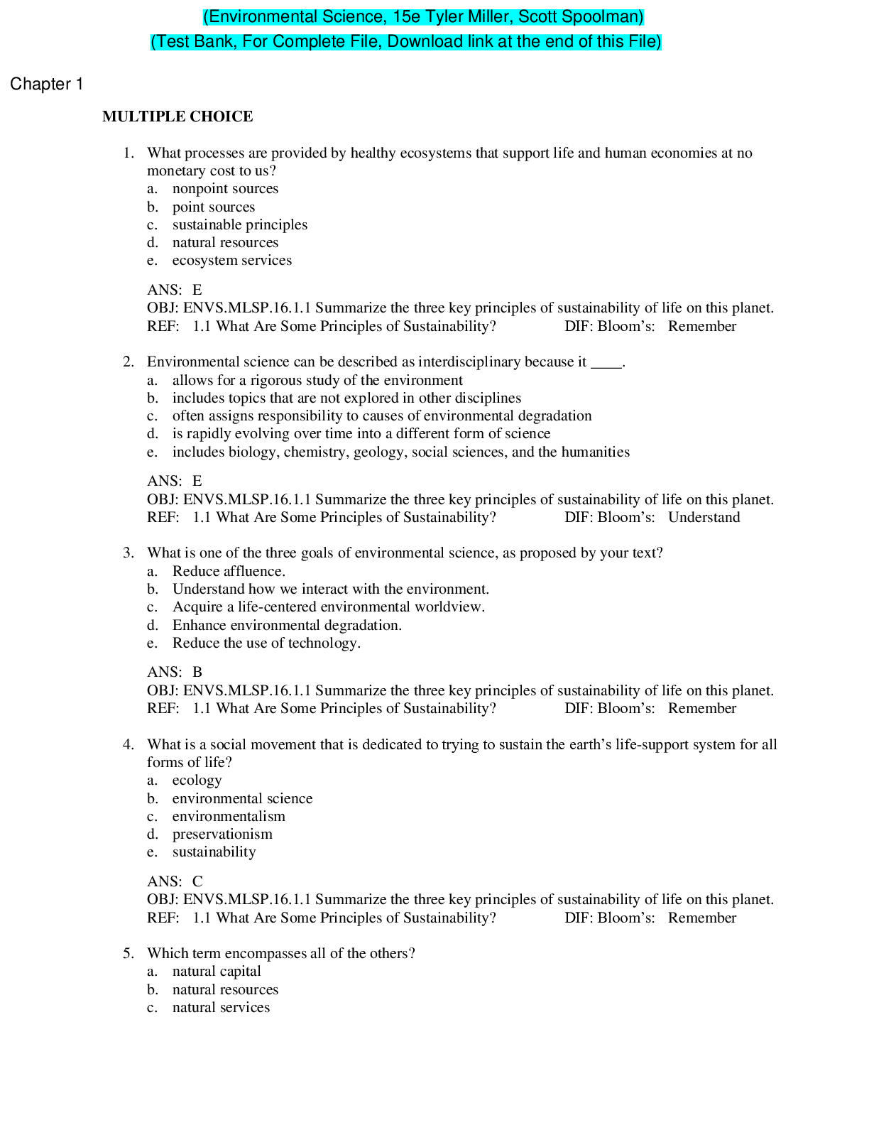
Environmental Science, 15th Edition by Tyler Miller, Scott Spo...
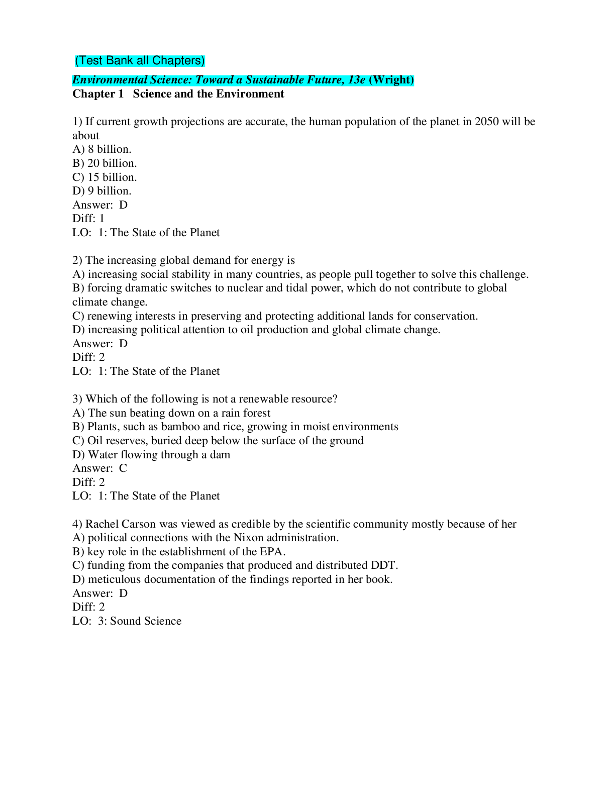
Environmental Science Toward a Sustainable Future 13e Richard...

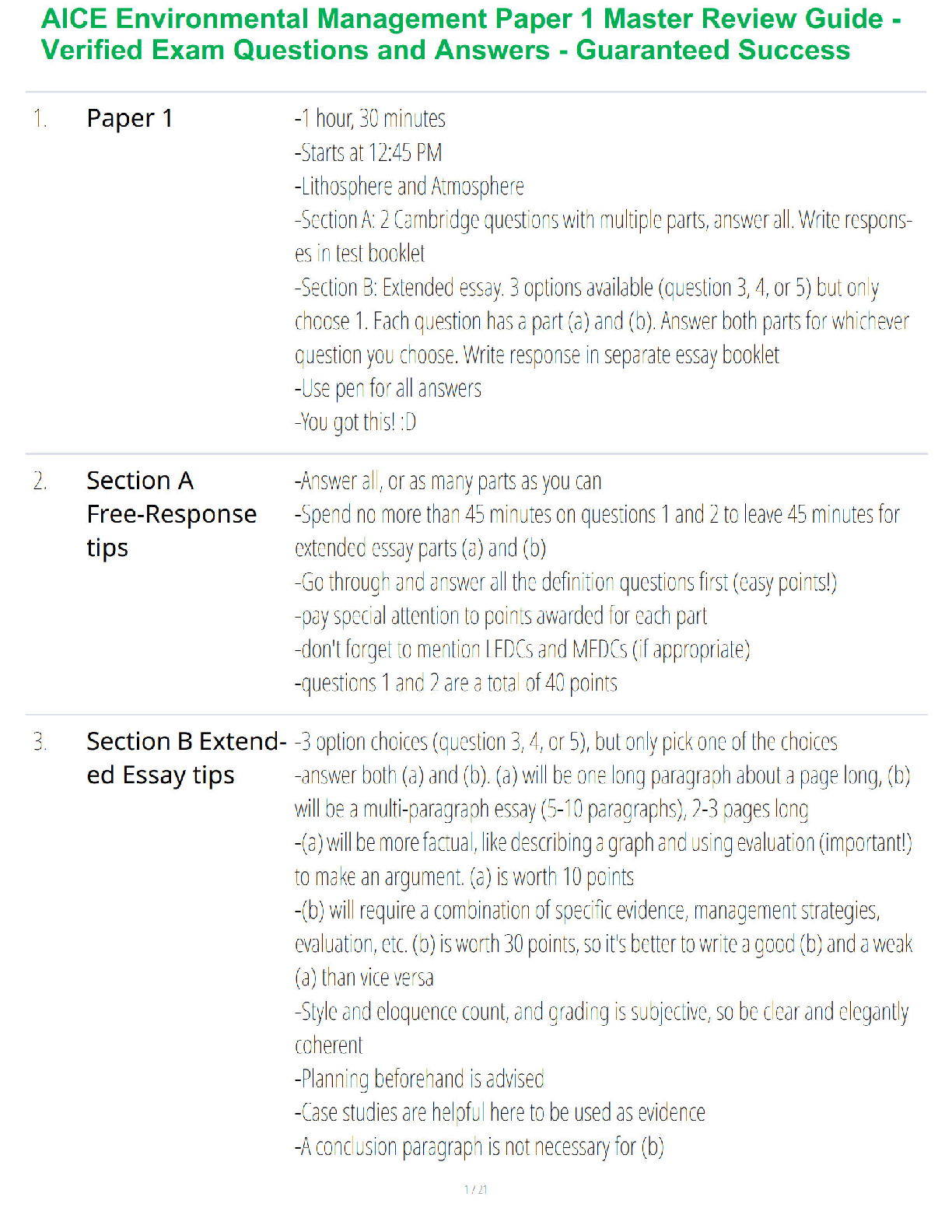
Sophia Environmental Science Unit 1 Milestone 1 Exam (100% COR...

Outside the city of Granville, a small illegal dump is found c...

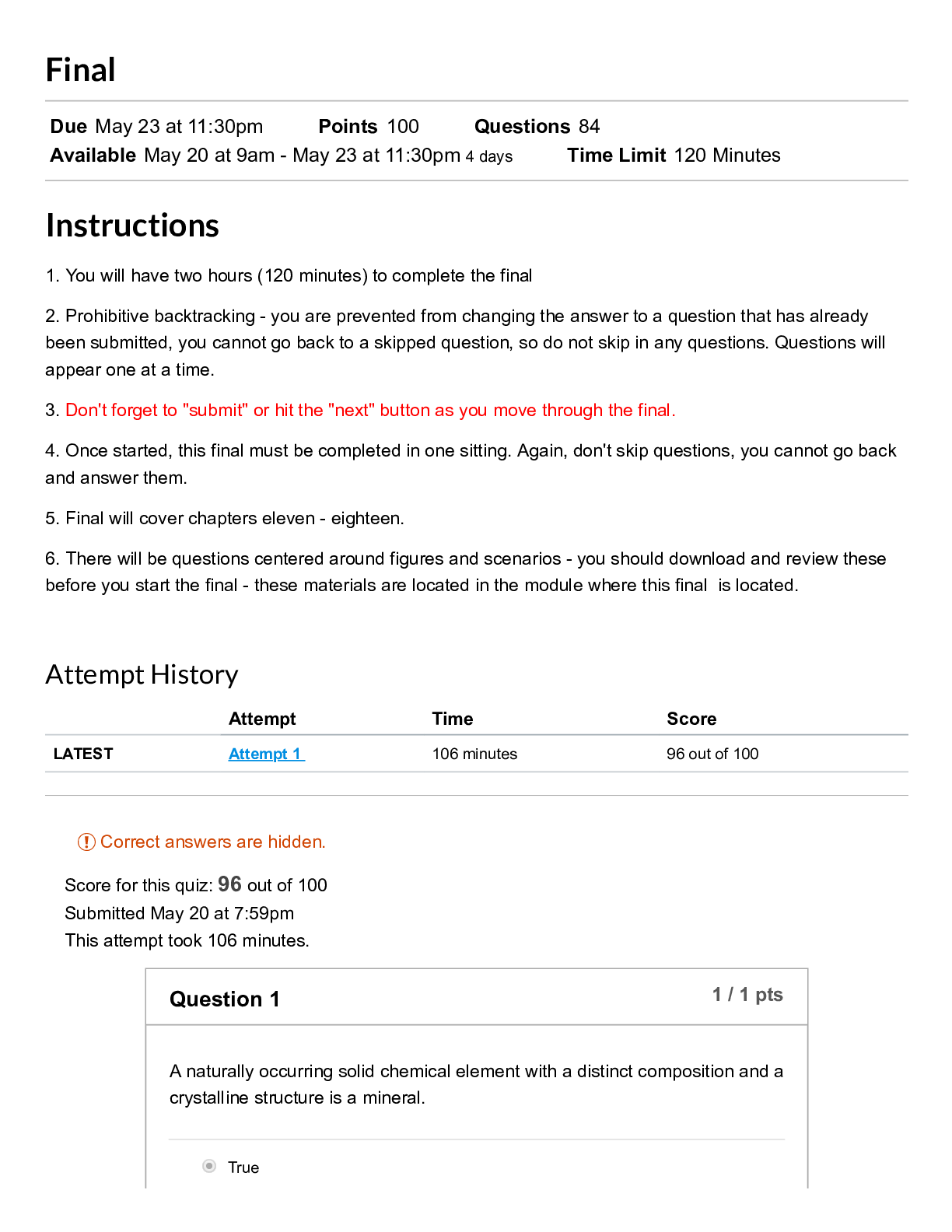
Ohlone CollegeENVS 108Final_ 19SP ENVS-108-05_ Introduction to...
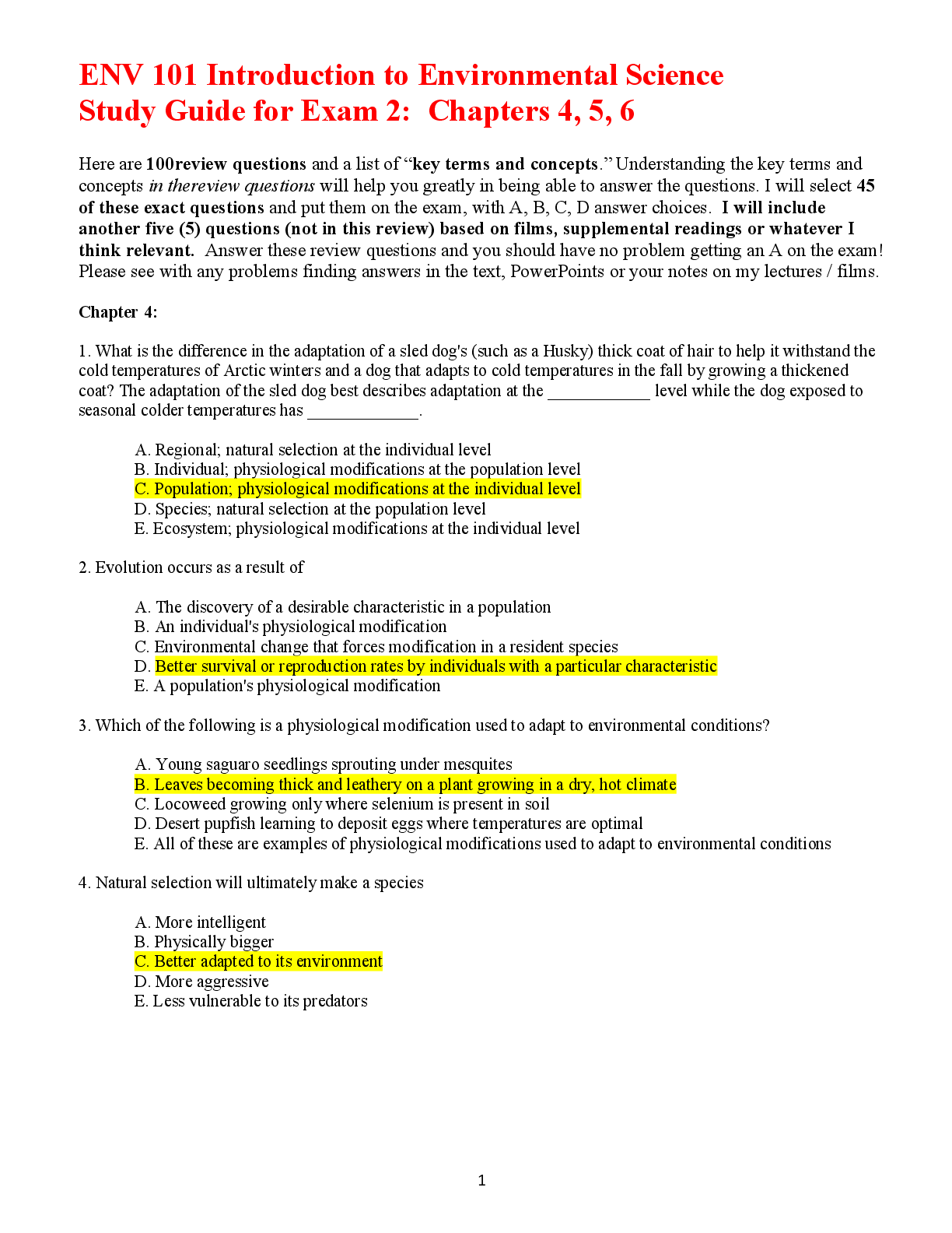
ENV 101 Introduction to Environmental Science Study Guide for...
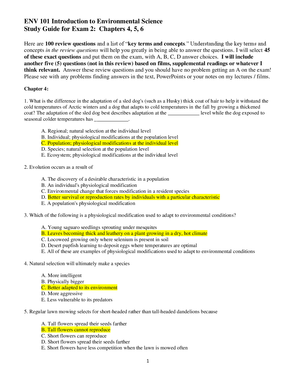
ENV 101 Introduction to Environmental Science Study Guide for...



.png)


.png)


